Mani Peninsula and Gytheio
Arid peninsula in the southern Peloponnese, known for its villages of stone tower houses and the fierce isolation of its inhabitants. Vathia, the Diros caves and Cape Tainaron are its tourist highlights, along with Gytheio to the north, the ancient port of Sparta, and the islet of Marathonisi.
The Mani, peninsula of towers and Cape Tainaron
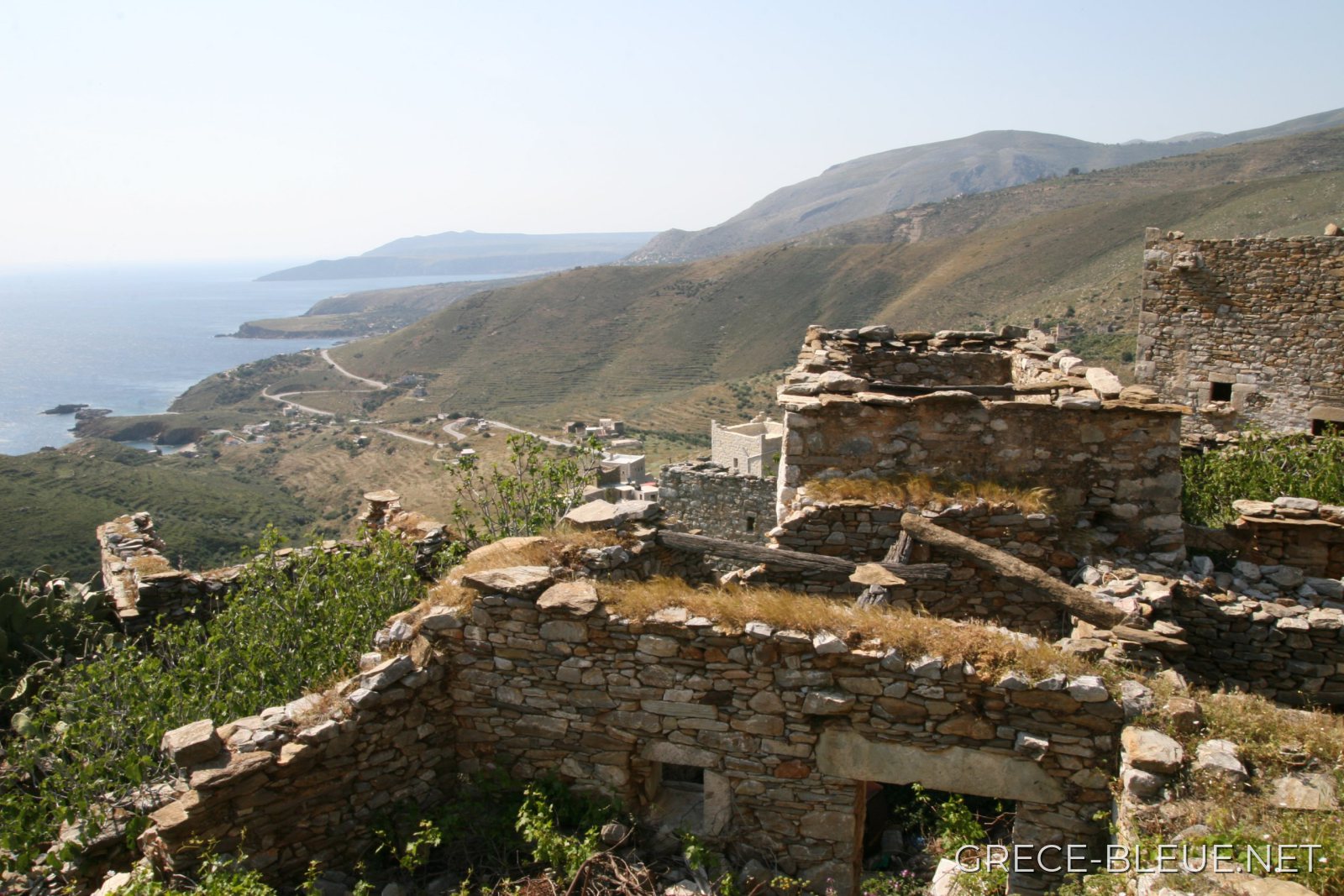
Coast of the Mani
The Mani (Máni) occupies the central peninsula of the southern Peloponnese, a rocky extension of the Taygetus massif between the Messenian and Laconian gulfs. Steep mountains, stony slopes and indented coastlines make up a landscape that becomes increasingly arid towards the south. Administratively, the region is today divided between the western Mani, in Messenia, and the eastern Mani, in Laconia.
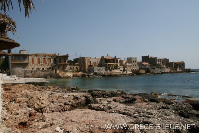
A distinction is traditionally made between the Outer Mani, in the north, which is greener and more cultivated, and the Inner Mani, in the south, which is far more mineral and was long difficult to access. This relative isolation has helped preserve a strong local identity, visible in the stone villages, the many churches and above all the tall tower houses that form the emblematic image of the peninsula.
A land of clans and tower houses
For several centuries the Maniots have maintained a strong identification with the ancient Spartans. This tradition, particularly developed from the 18th century onwards, belongs however more to the construction of Maniot identity than to a direct lineage that can be historically demonstrated.
The terrain and social organisation of the Mani also made it difficult to establish effective Ottoman control. The region retained very broad autonomy, while maintaining variable relations with the Porte and being governed in particular in the 18th century by beys from the great Maniot families. Rivalries between clans and vendettas left a lasting mark on local society.
It was in this context that the famous tower houses of the Mani developed above all, between the 17th and 19th centuries. At once fortified residences, defensive structures and signs of prestige, they had thick walls, few openings and several storeys. Their height also expressed the power of the family that owned them.
Gytheio and Areopoli, gateways to the Mani
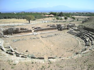
On the Laconian Gulf, Gytheio is the main maritime gateway to the Mani. In antiquity the city served as the port of Sparta and saw significant activity in Roman times, as witnessed in particular by its 2nd-century AD theatre. The present-day town rises in tiers above the harbour with its colourful neoclassical houses and makes a practical base for exploring the eastern part of the peninsula.
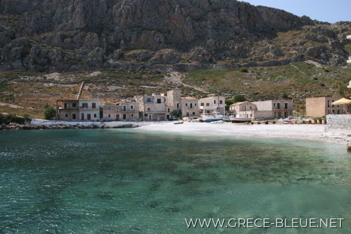
Further south-west, Areopoli is the main historic centre of the Inner Mani. Its old town preserves paved lanes, stone houses, churches and several tower houses, including the Pikoulakis tower, now devoted to the region's Byzantine heritage. A few kilometres away, Limeni, the former port of the Mavromichalis family, forms one of the most characteristic coastal ensembles of the Mani.
Diros, Vathia and the villages of the Inner Mani
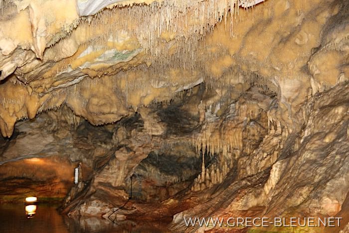
Caves of Diros
Near Pyrgos Dirou, the caves of Diros★ are the main natural attraction of the peninsula. The Vlychada cave forms a vast network of galleries that are largely flooded, a section of which is visited by boat among stalactites and stalagmites. The neighbouring Alepotrypa cave has yielded important remains of Neolithic occupation and funerary practices.
Continuing south, Gerolimenas, Koita and above all Vathia★★, the most spectacular complex of tower houses in the Mani, come into view. Perched on a height overlooking the sea, the village brings together some 70 towers and tower houses, several churches, alleyways and farm buildings. Most of the present-day village developed in the 18th and 19th centuries; partially restored after its depopulation in the 20th century, it remains one of the finest testimonies to Maniot fortified architecture.
Cape Tainaron, at the gates of the Underworld
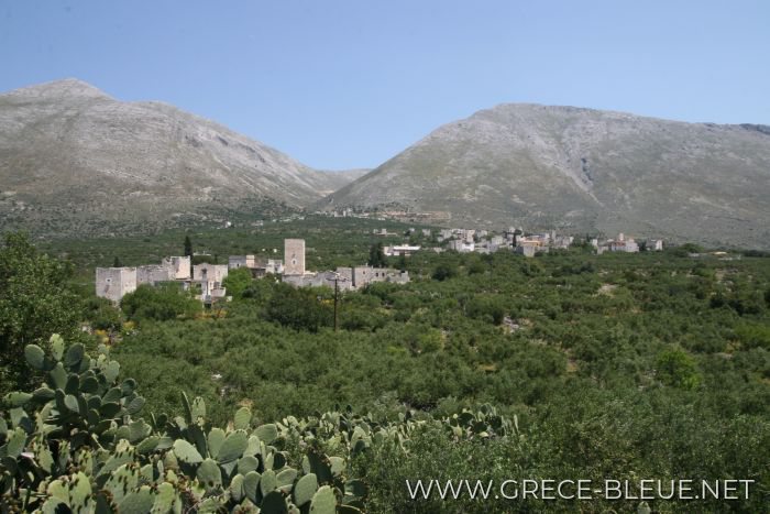
Mani Peninsula
Beyond Vathia, the villages become more spread out and the landscape ever more bare. Gerolimenas, Marmari and Porto Kagio offer a few stops beside small bays before the tip of the peninsula: Cape Tainaron★, or Cape Matapan, the southernmost point of mainland Greece.
In antiquity, Tainaron was home to an important sanctuary of Poseidon. Tradition also placed there a passage to the underworld and an oracle of the dead, although the exact location of the latter remains uncertain. From Kokkinogeia, a path crosses the remains of ancient Tainaron and reaches, in about 40 to 50 minutes, the lighthouse standing at the very end of the cape.
The Mani is thus discovered less through a single monument than through the succession of its fortified villages, rocky landscapes, small bays and isolated roads. Distances look modest on the map, but the winding roads impose a slow pace; outside Gytheio, Areopoli and the main coastal settlements, services become more spread out. This relative ruggedness is precisely a large part of the appeal of a region still very different from the most frequented parts of the Peloponnese.
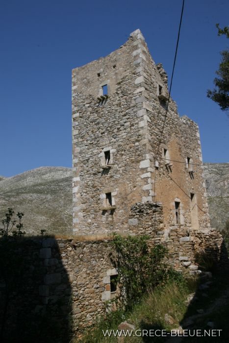
Vathia
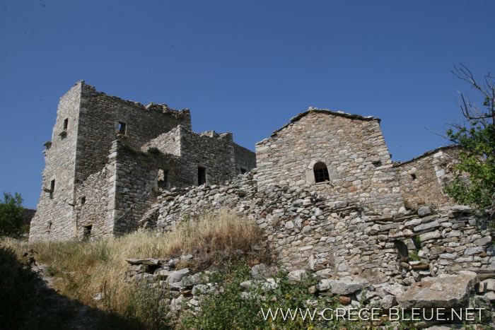
Vathia
Mani Peninsula
Mani Peninsula
Mani Peninsula
Map and places in the Mani Peninsula and Gytheio
Nearby places to stay
On the same theme